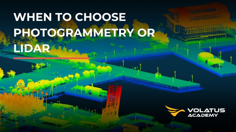
Volatus Academy announced the upcoming launch of its new course, Fundamentals of Drone Mapping in Photogrammetry and LiDAR.
21 Nov 2025
This online training is designed for professionals and enthusiasts looking to master the capture, planning, and validation of high-precision geospatial data.
The entirely self-paced program covers the essential principles for deciding when to use photogrammetry or LiDAR, two key technologies in the processing and analysis of data obtained by drones. The initiative highlights the importance of understanding the advantages of each method to obtain results tailored to the specific needs of mapping, surveying, or inspection projects.
The Academy also invites you to learn more in its recent publication, “When to Choose Photogrammetry or LiDAR,” which delves into the technical criteria that can guide a more informed choice.
Source and Credits to Volatus Aerospace
For more information click <<Here>>